© unsplash/@nicolasp
Crop classification for EU subsidy control (CAP)
Context
In the Common Agricultural Policy (CAP), the EU Member States define policies for the European agricultural market. The total budget for the years 2021 - 2027 is EUR 391.4 billion. A large part of this budget is invested in subsidies to farmers. To control that the conditions for subsidies are fulfilled, the EU Member States need to collect data on the crops grown on a parcel level. For this, the European Commission advised the Member States to make use of satellite imagery and automatically analyse the imagery with machine learning. Moreover, the automated crop classification can enhance the efficiency for farmers regarding documentation duties.
Challenges
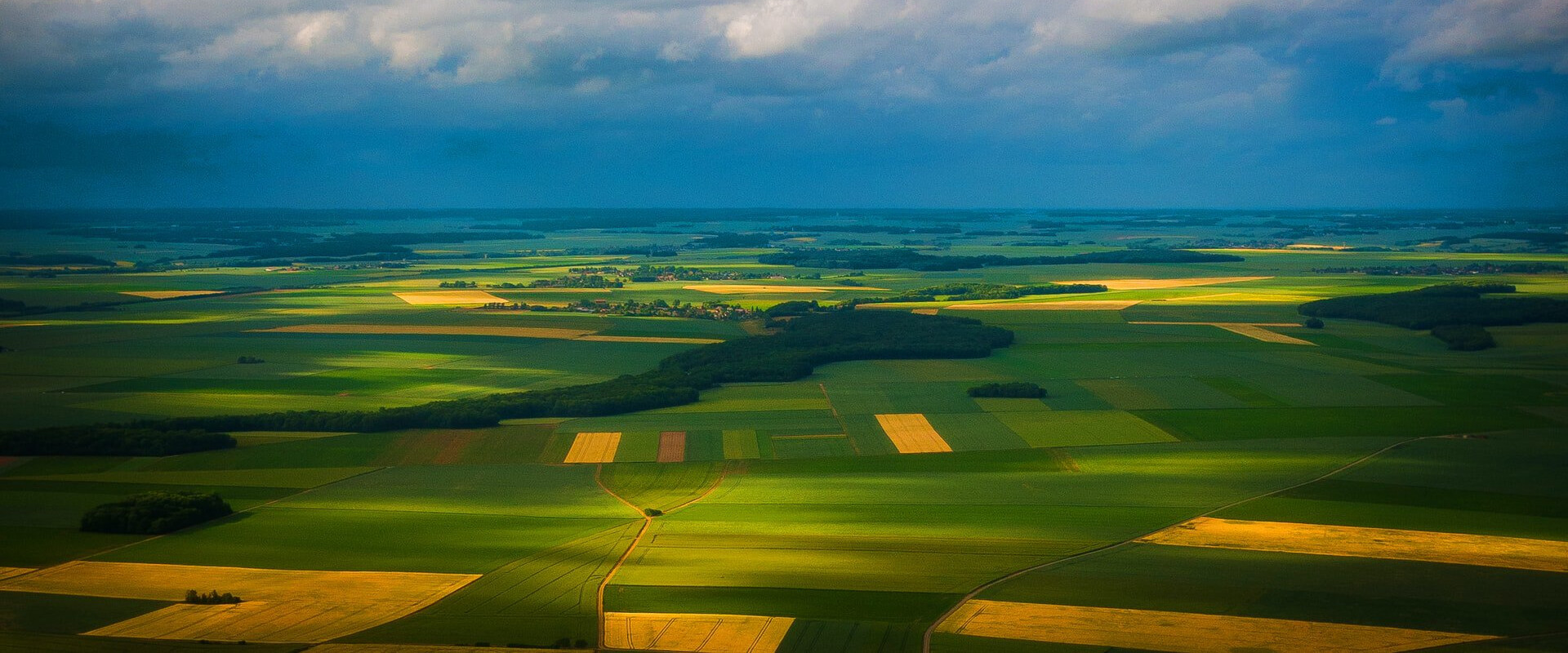
The automation of crop classification and agricultural land localization requires the use of earth observation and remote sensing methods and data. Several open source data (e.g. from the European Space Agency's Sentinel satellites) can be used to create an appropriate training data set.
This should be the main task before developing a machine learning model, because it requires a large and diverse data set, which covers all possible crop types and growth phases as well as labeled other vegetation types.
To extract the relevant information from the satellite data, the machine learning model needs to process the labeled satellite data and should be able to recognize patterns, such as different colours or growth levels of the monitored agricultural land.
Potential solution approaches
Open source data sets, such as the data from ESA's Sentinel-1 and Sentinel-2 program, provide optical and radar satellite data, which can be used as training data, where the different crop types have to be labeled.
The machine learning model can classify the crop types by implementing image segmentation and classification algorithms, which are normally convolutional neural networks (CNN), such as a U-Net or Mask R-CNN architectures. They can detect differences in color and growth height of the crops and other vegetations in the optical and radar spectrum and classify on this basis the crop types as well as borders between different acres and forests.
To be able to extract additional information from different growth phases, a time series observation of satellite imagery could be applied, e.g. in the form of pixel-set encoders and temporal self-attention.