© unsplash/@usgs
Mine detection and classification
Context
The exploration of mining sites is a very time-consuming and expensive process, when it is done manually by humans. Therefore, the automatic identification and classification of mines can be very cost-saving for mining companies and helps government organisations to avoid illegal mining actions, particularly in remote areas such as the rainforest.
Challenges
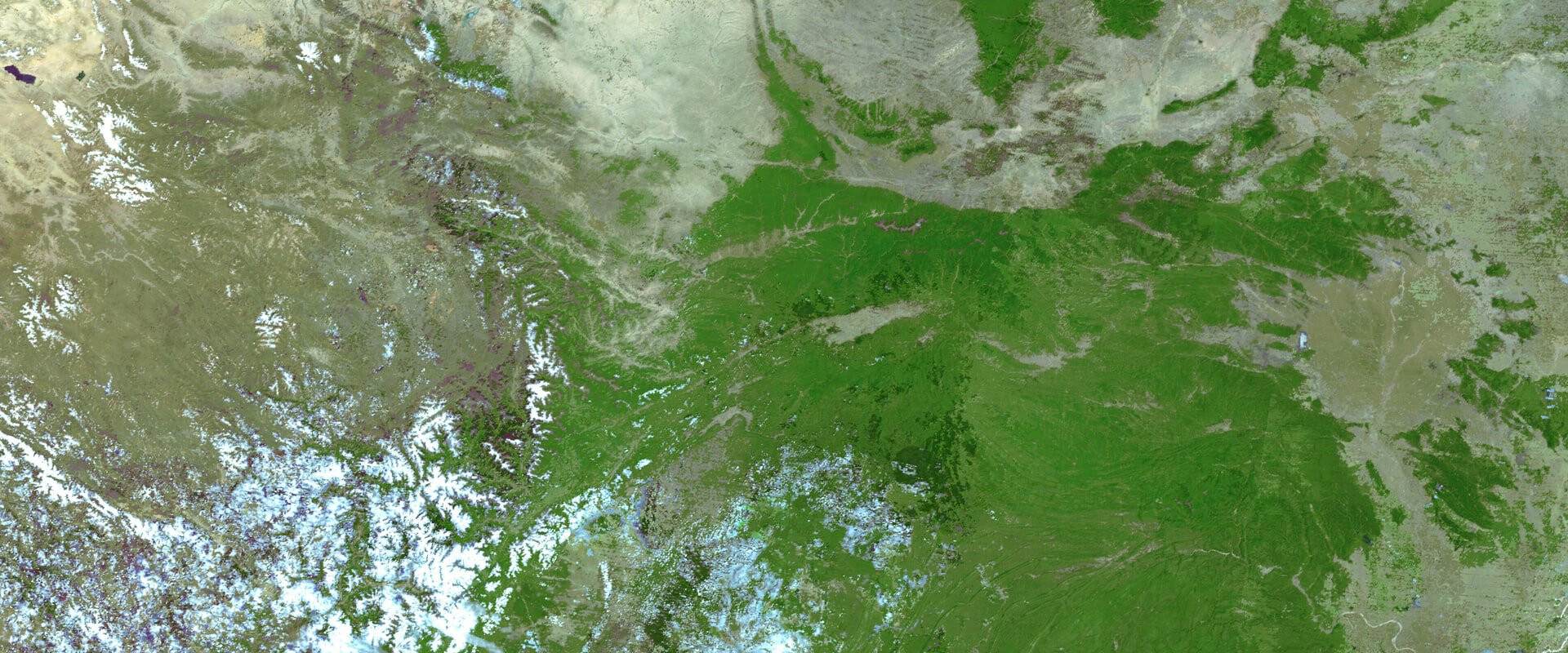
For tasks in remote sensing and earth observation, open source satellite images with data from visible wavelengths and radar is available and provided by thesatellite systems of NASA or ESA.This satellite data needs to be labeled using known locations of mining sites, creating "ground truth" data. This is, however, not trivial as especially small and artisanal mining sites are quite small and are easily confused with roads or houses, especially if the spatial resolution is limited. Moreover, if the software shall be applied to various countries, training data from these countries has to be collected to reflect and train differences in topography and mining method.
For mine detection and classification, a machine learning model can then be trained to identify and localize mines based on their shape, colour or water reflection.
Potential solution approaches
To generate the training data set, a labelling scheme has to be developed to identify criteria to be met for classification. At hydraulic mining, water pools are present next to the mining site which can easily be identified by the eye. In case of limited spatial resolution, reviews with less recent, but open sourced high resolution imagery such as Bing or Google Maps shall be conducted to generate a high quality ground truth data.
To identify and localize mining sites image segmentation and classification models are used, which are special convolutional neural networks (CNN), such as U-Net or Mask R-CNN algorithms.
Additionally, mineralogical classification could be performed by analyzing multi-spectral satellite data knowing that different materials absorb and emit different ranges of the electromagnetic spectrum.